
Aerial & Ground Surveying Services:
A Unified Approach to Precision Mapping
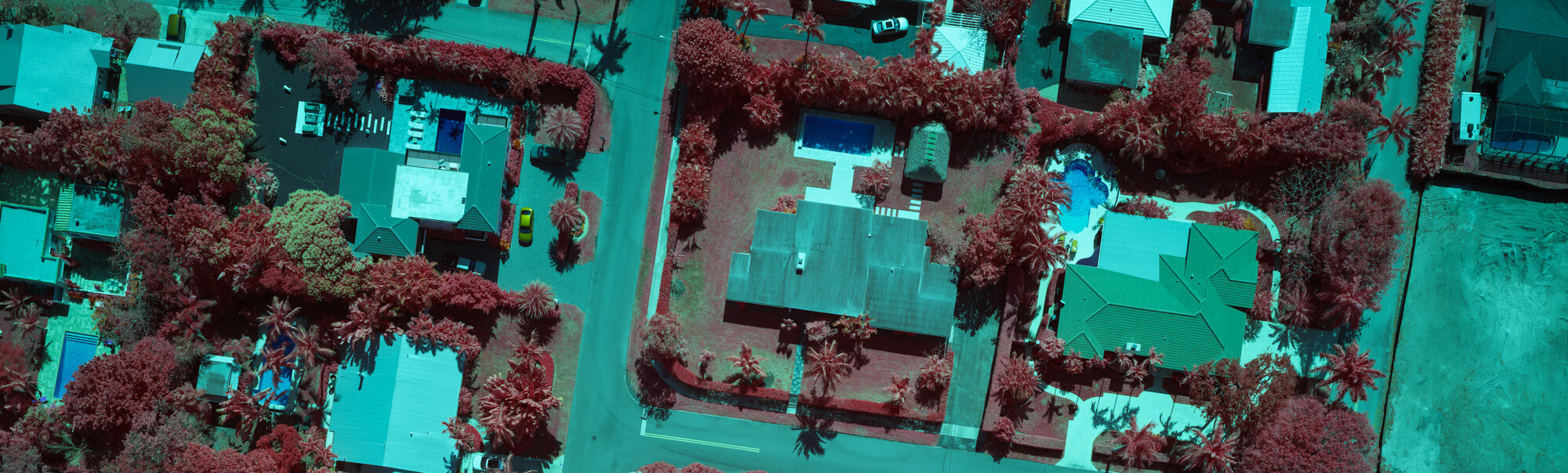
Our aerial and ground surveying services combine high-performance remote sensing, precision ground control, and integrated analytics to deliver seamless, high-fidelity data for infrastructure projects.
Co-Collected Data: More Insights, Greater Efficiency
We don’t just collect separate datasets—we co-collect high-density LiDAR and photogrammetric imagery in a single operation. This approach:
- Eliminates the need for multiple site visits, reducing project timelines and costs.
- Enhances data correlation, providing deeper, more accurate insights.
- Allows for multi-layered analysis, from terrain modeling to infrastructure monitoring.
Advanced Aerial LiDAR & Photogrammetry
We deploy high-performance aircraft with Riegl LiDAR sensors and Phase One imaging systems, ensuring maximum detail and coverage:
- LiDAR Density: Over 100 points per square meter, capturing high-resolution terrain, structures, and infrastructure.
- Ultra-precise photogrammetry, capturing both nadir and oblique images, delivering accurate digital surface models and orthophotos.
- Optimized flight methodology, ensuring fast, efficient data collection over large and complex sites.
Terrestrial LiDAR & Ground Control
To ensure absolute accuracy, we integrate our aerial data with terrestrial LiDAR scanning and survey control. This process:
- Provides engineering-grade accuracy for transportation and utility infrastructure.
- Captures detailed site conditions, essential for structural assessments and planning.
- Ensures perfect alignment between ground and aerial datasets, improving analytical reliability.
- Allows work to be performed at a scale never before possible.
By combining aerial and ground-based data collection, we provide civil engineers, planners, and utilities with a fully integrated 3D view of their project environments.