About Us:
Pioneering Geospatial Solutions for a Smarter Future
At DARIUS, we don’t just collect data—we empower civil engineers, planners, power utilities, and emergency managers with the precision geospatial intelligence they need to shape the future.
A Legacy of Innovation & Excellence
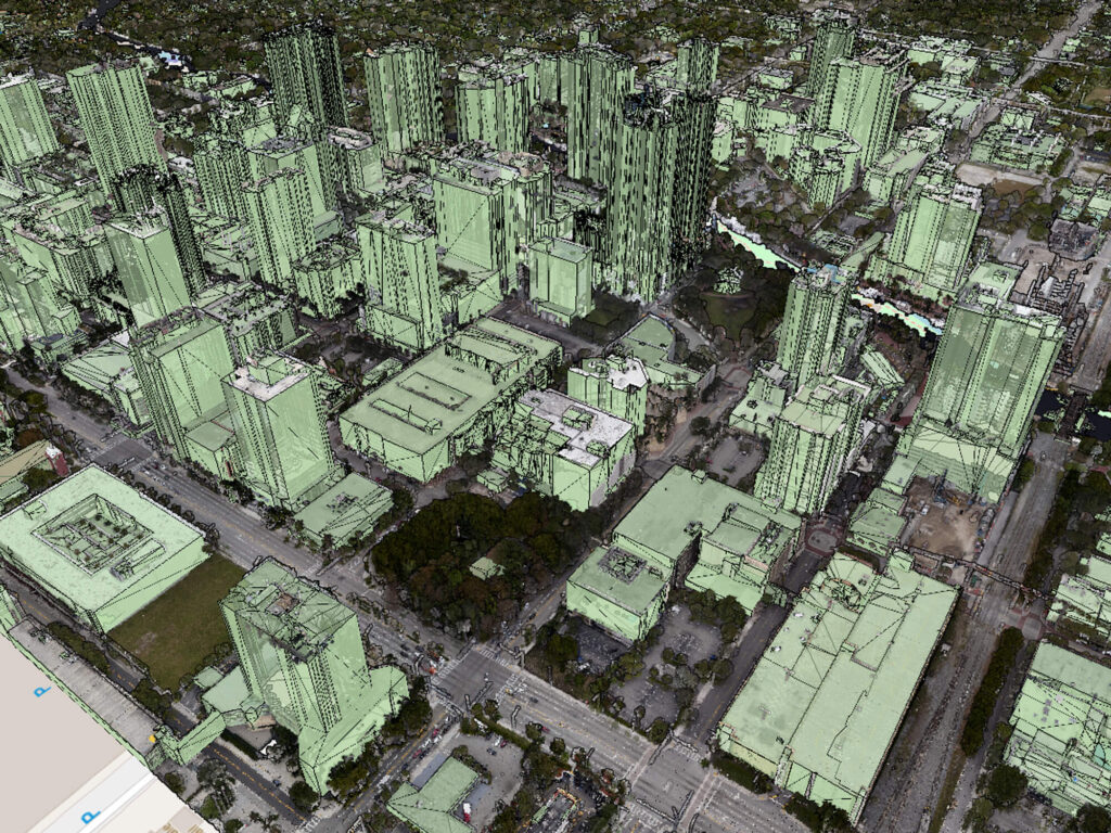
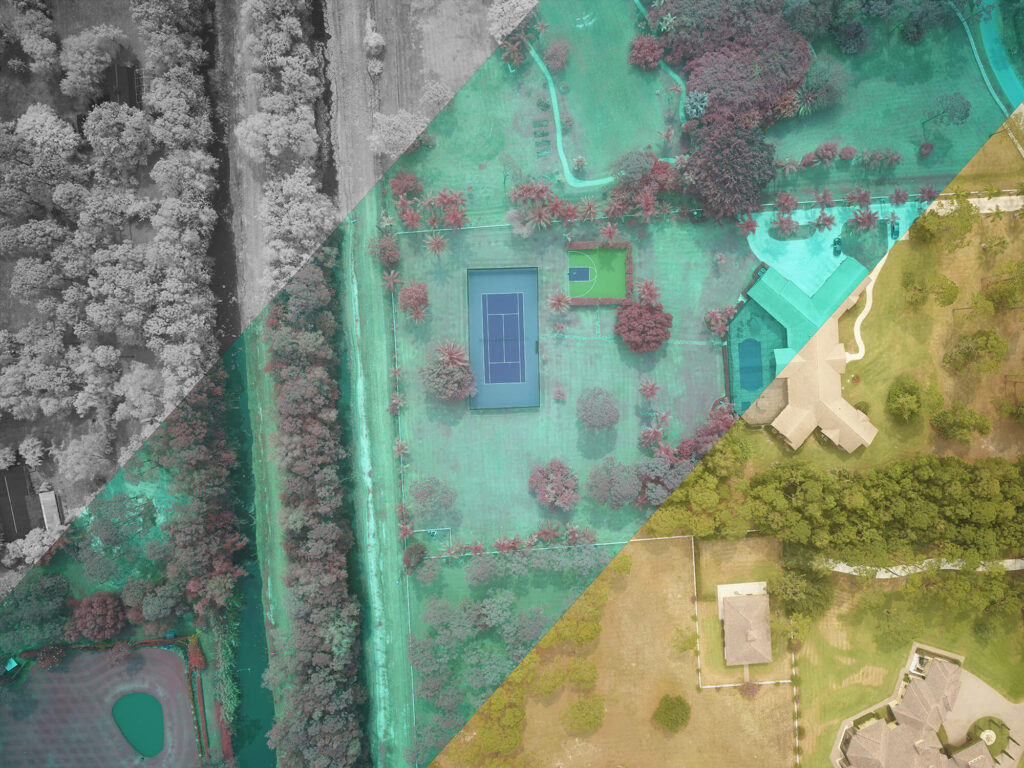
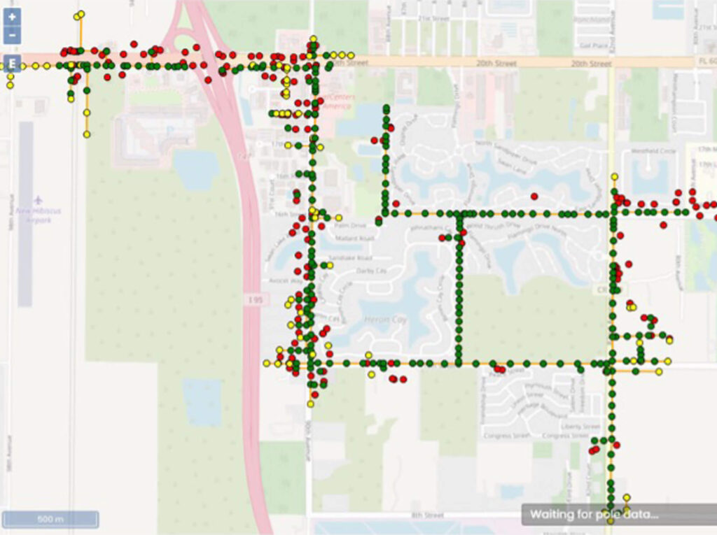
Founded in 2015, we were among the first FAA-certified UAV firms in the nation, paving the way for aerial data collection in critical infrastructure and urban planning. With aerial and terrestrial LiDAR, high-resolution imaging, and precision survey data, we deliver the most comprehensive, co-collected datasets available—providing insights that drive smarter decision-making.
Florida-Based, Nationally Recognized
Proudly headquartered in West Palm Beach, Florida, we serve clients across the U.S., offering specialized expertise in transportation, energy, land development, and emergency response. As an ESRI Bronze Partner and a certified Disadvantaged Business Enterprise (DBE), we bring agility, innovation, and a commitment to excellence to every project.
Leaders in UAV & Remote Sensing Technology
With nearly a decade of experience in FAA-certified UAV operations, we remain at the forefront of aerial and terrestrial geospatial solutions. Our proprietary flight methodologies, high-density LiDAR (over 100 points per square meter), and state-of-the-art Photogrammetry equipment set us apart as an industry leader in precision data collection.

Our Mission: Empowering Smarter Infrastructure Decisions
We believe that better data leads to better outcomes. That’s why we integrate cutting-edge remote sensing, high-fidelity analytics, and expert consulting to support the next generation of sustainable, resilient, and efficient infrastructure.
Partner with a Proven Leader in Geospatial Intelligence
From major infrastructure projects to rapid-response emergency mapping, we provide the critical data and expertise our clients need to build smarter, safer, and more efficient communities.