
Specialized Projects & Emergency Response:
Fast, Reliable Data When It Matters Most
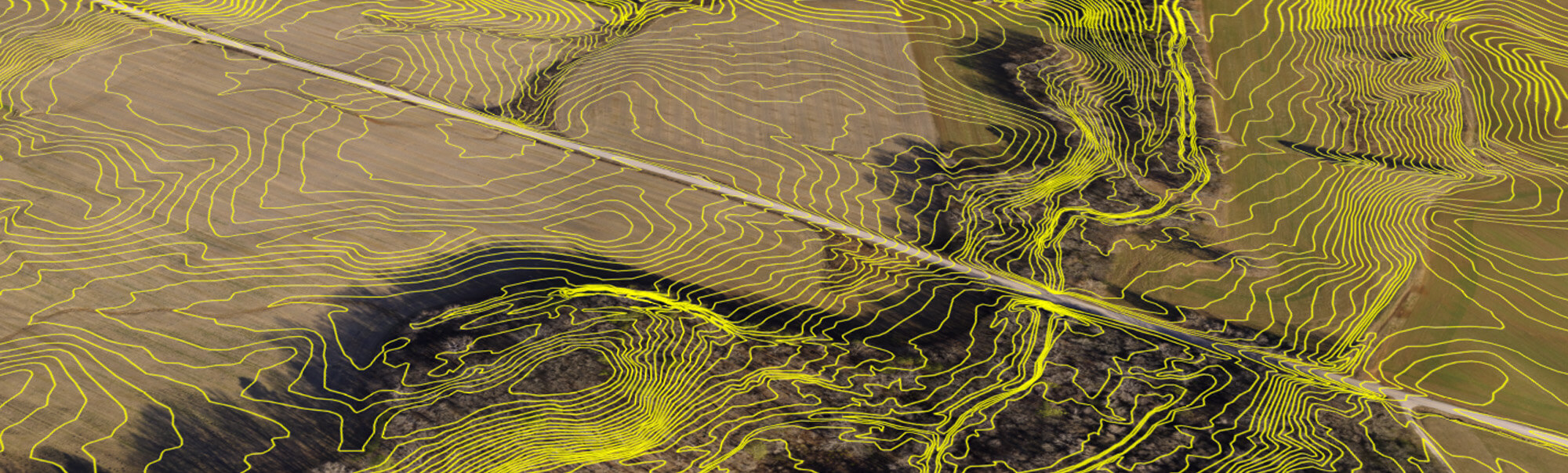
Our specialized geospatial services support high-stakes projects and rapid-response scenarios where time, accuracy, and reliability are critical.
Emergency Response & Rapid Deployment
In emergency situations, we provide immediate aerial and terrestrial LiDAR mapping to support:
- Disaster assessment & recovery planning – Rapidly documenting flood zones, wildfire impacts, and infrastructure damage.
- Utility restoration – Identifying downed power lines, damaged substations, and energy distribution failures.
- Hazard mitigation & resilience planning – Delivering up-to-date data for emergency preparedness and response strategies.
Project Management & Consulting for Complex Infrastructure
We work alongside civil engineers, planners, and power utilities to coordinate large-scale projects, ensuring smooth data integration and execution. Our expertise includes:
- Geospatial intelligence for large-scale infrastructure – Supporting major roadway, energy, and urban development initiatives.
- Utility corridor planning – Mapping transmission lines, substations, and underground infrastructure with precision.
- Land development & permitting support – Providing geospatial data to accelerate environmental approvals and compliance.
Custom Geospatial Solutions for Unique Needs
Our tailored solutions help clients tackle non-standard, high-complexity projects with confidence. Whether you need detailed terrain modeling for a remote site, utility mapping for a regional grid expansion, or rapid data acquisition for emergency management, we provide customized geospatial solutions that deliver results.